A hike to the Maurerkogel in Zell am See
The neighbouring summit of the Schmittenhöhe awaits!
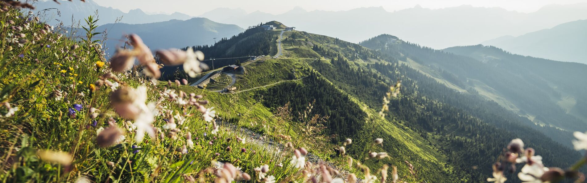
The stunning scenic views of the Schmittenhöhe certainly make this mountain a household term among summer holiday guests. But are you familiar with its neighbouring summit, the Maurerkogel, too? It might not be quite as well-known, but it attracts hikers of all ages with equally stunning 360-degree views.

All facts for summit joy on the Maurerkogel
The Maurerkogel’s summit is calling! But before you hit the trail, here’s some important info about the hike:
- Difficulty: medium (good level of endurance required)
- Length: about 11 km
- Duration: about 4 hours
- Elevation gain/loss: 631 m during the ascent and 631 m during the descent
- Highest point: 2,059 m
- Start: Schmittenhöhe
- Destination: Schmittenhöhe
- Route: Kettingtörl – Kettingkopf – Maurerkogel – Rohrertörl – Hochsonnberg
- Tips: sturdy footwear recommended; bring plenty of snacks and water; stop at Pinzgauer Hütte, Eder Hütte or Kettingalm; park at Schmittenhöhebahn or trassXpress (Schmittenstraße 119, 5700 Zell am See)

The route from the Schmittenhöhe
You want to go on a hike to the Maurerkogel? Great! Park your car and start your hike at the Schmittenhöhebahn. From the mountain station of Schmittenhöhebahn or trassXpress, follow the Pinzgauer Spaziergang trail to the fork in the trail labelled “Maurerkogel”. From that point on, the way to the summit is signposted. In fresh mountain air, you can hike towards the Maurerkogel’s stunning views. Via Pinzgauer hut, you can later return to the Schmittenhöhe.
Tip for a stop: Berghotel Schmittenhöhe is another great choice for gourmets!
Experiencing the Schmitten on many trails
You’d like to get an idea of the hiking routes up on the Schmittenhöhe before you get there? With the interactive hiking map, nothing’s easier than that! You’ll not only receive additional info about some of the most beautiful trails but get a better idea of the hiking resort of Zell am See as well. See for yourself!


