Currently closed
The Sisi Trail on the Schmittenhöhe
Hiking in the footsteps of an empress
Are you looking for the perfect route for a leisurely hike with your family? Zell am See has got you covered! On the Schmitten, you can enjoy some casual hiking fun. But that’s not all: You can also go on a fascinating journey back in time to bygone imperial days …
Facts about the Sisi Trail at a glance
The Schmitten’s shortest hiking trail sounds perfect for you and your family? Great! Here’s the most important info about the hike:
- Difficulty: easy, family-appropriate hike
- Length: about 1 km
- Duration: about 0.5 hours
- Elevation gain/loss: 37 m during the ascent and 37 m during the descent
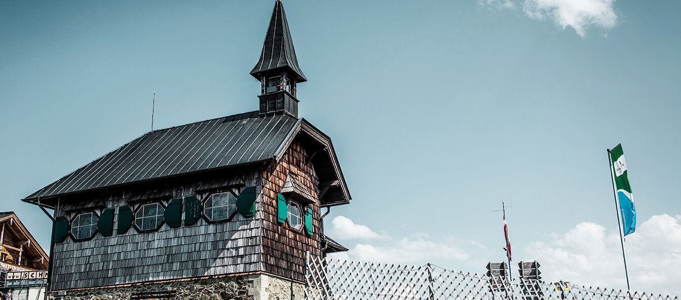
- Start: Elisabeth Chapel, Schmittenhöhe
- Destination: Elisabeth Chapel, Schmittenhöhe
- Tips: coffee and cake at Berghotel Schmittenhöhe
- Parking: park at Schmittenhöhebahn (Schmittenstraße 119, 5700 Zell am See)
Schmidolin’s Baptism of Fire, the High-Altitude Promenade, the Herb Trail and the Mystical Forest are other family-friendly trails you might enjoy.
How to get to the Sisi-Trail:
(have a look at the hiking map):
- Ascent Schmittenhöhebahn (Schmittenstraße 119, 5700 Zell am See) or
- Ascent trassXpress (Schmittenstraße 119, 5700 Zell am See) and hike on the route 50 in direction summit
The Pinzgau’s hiking paradise: the Schmittenhöhe
You’d like to know where the different hiking routes on the Schmitten in Zell am See will lead you? The interactive hiking map has the answer for you! Just hover the mouse over the various symbols. One click and you’ll receive more details.


